Hohenlockstedt en el mapa
Hohenlockstedt (Schleswig-Holstein) , Alemania en el mapa.
Coordenadas GPS: 53° 58' 0" Norte,
9° 37' 0" Oriente.
» Zona horaria, » mapa político, » mapa naturales,
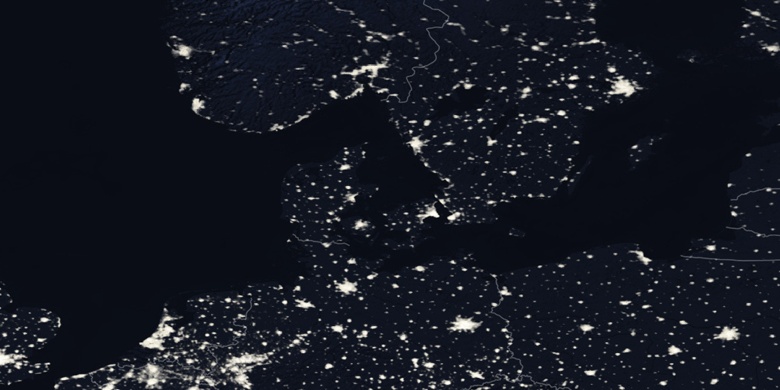
» Hohenlockstedt en el mapa noche & » mapa de Google.
 Hora
HoraHohenlockstedt en el mapa de zona horaria:
Zona horaria: GMT+02:00 = CEST (±1 DST)


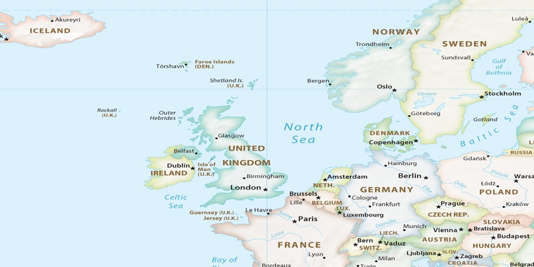
Alemania, Hohenlockstedt mapa político

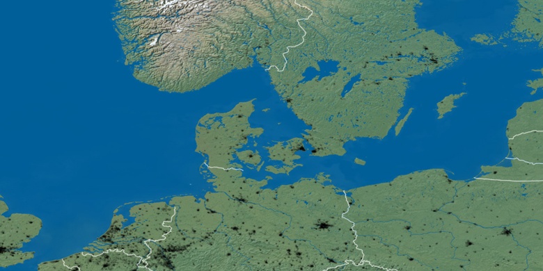
mapa naturales
Latitud longitud: 53.96667, 9.61667

Hohenlockstedt
Hohenlockstedt en el mapa noche