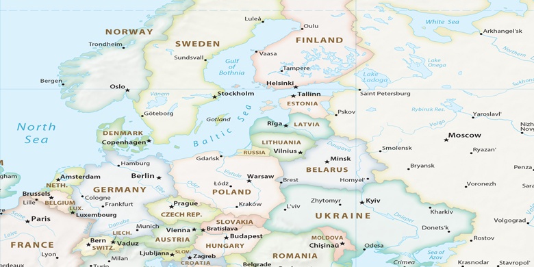
Osternienburger Land en el mapa
Osternienburger Land (Saxony-Anhalt) , Alemania en el mapa.
Coordenadas GPS: 51° 47' 60" Norte,
12° 1' 0" Oriente.
» Zona horaria, » mapa político, » mapa naturales,
» Osternienburger Land en el mapa noche & » mapa de Google.
 Hora
HoraOsternienburger Land en el mapa de zona horaria:
Zona horaria: GMT+02:00 = CEST (±1 DST)


Alemania, Osternienburger Land mapa político

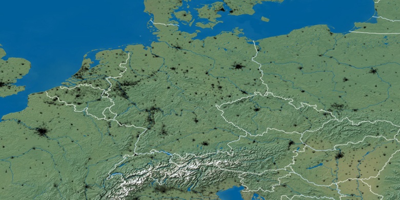
mapa naturales
Latitud longitud: 51.8, 12.01667

Osternienburger Land
Osternienburger Land en el mapa noche