Port Nelson en el mapa
Port Nelson (Rum Cay
) , Bahamas en el mapa.
Coordenadas GPS: 23° 38' 58.8" Norte,
74° 50' 29.7" Oeste.
» Zona horaria, » mapa político, » mapa naturales,
» Port Nelson en el mapa noche & » mapa de Google.
 Hora
HoraPort Nelson en el mapa de zona horaria:
Zona horaria: GMT-04:00 = EDT (±1 DST)


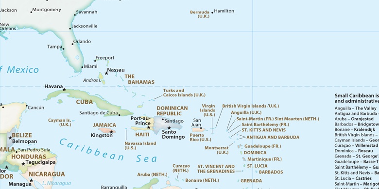
Bahamas, Port Nelson mapa político

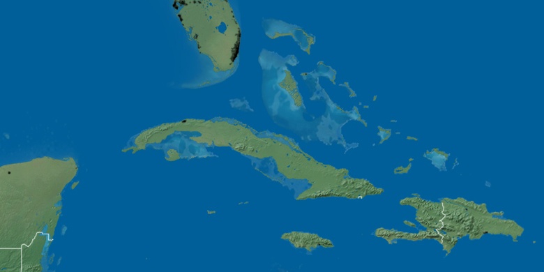
mapa naturales
Latitud longitud: 23.64967, -74.84157

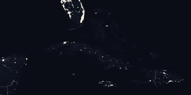
Port Nelson
Port Nelson en el mapa noche