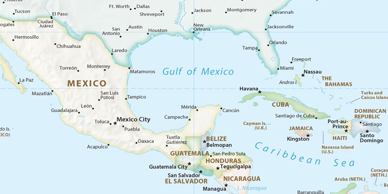
Lighthouse Point en el mapa
Lighthouse Point (Florida) , Estados Unidos en el mapa.
Coordenadas GPS: 26° 16' 32.3" Norte,
80° 5' 14.2" Oeste.
» Zona horaria, » mapa político, » mapa naturales,
» Lighthouse Point en el mapa noche & » mapa de Google.
 Hora
HoraLighthouse Point en el mapa de zona horaria:
Zona horaria: GMT-04:00 = EDT (±1 DST)


Estados Unidos, Lighthouse Point mapa político

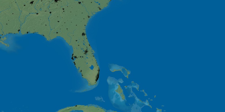
mapa naturales
Latitud longitud: 26.27564, -80.08727

Lighthouse Point
Lighthouse Point en el mapa noche