Coulounieix-Chamiers en el mapa
Coulounieix-Chamiers (Aquitaine) , Francia en el mapa.
Coordenadas GPS: 45° 9' 10.4" Norte,
0° 41' 18.7" Oriente.
» Zona horaria, » mapa político, » mapa naturales,
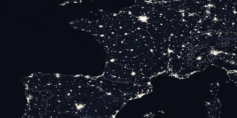
» Coulounieix-Chamiers en el mapa noche & » mapa de Google.
 Hora
HoraCoulounieix-Chamiers en el mapa de zona horaria:
Zona horaria: GMT+02:00 = CEST (±1 DST)


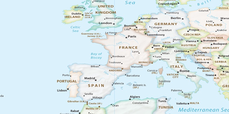
Francia, Coulounieix-Chamiers mapa político

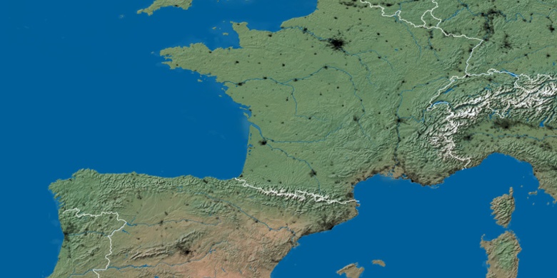
mapa naturales
Latitud longitud: 45.15289, 0.68852

Coulounieix-Chamiers
Coulounieix-Chamiers en el mapa noche