Saint-Loubès en el mapa
Saint-Loubès (Aquitaine) , Francia en el mapa.
Coordenadas GPS: 44° 54' 55.3" Norte,
0° 25' 37.3" Oeste.
» Zona horaria, » mapa político, » mapa naturales,
» Saint-Loubès en el mapa noche & » mapa de Google.
 Hora
HoraSaint-Loubès en el mapa de zona horaria:
Zona horaria: GMT+02:00 = CEST (±1 DST)


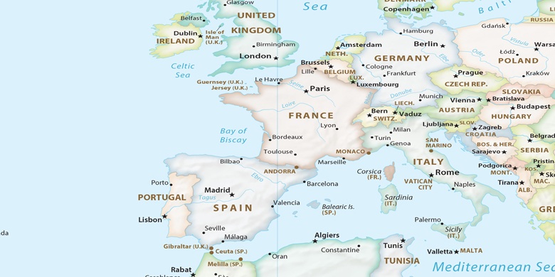
Francia, Saint-Loubès mapa político

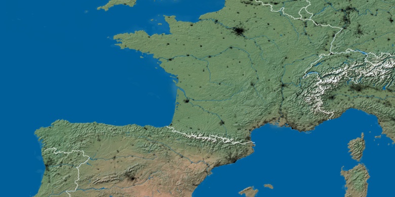
mapa naturales
Latitud longitud: 44.91536, -0.42703

Saint-Loubès
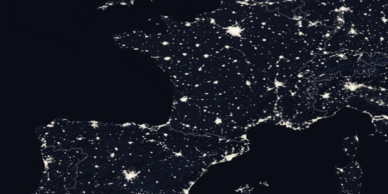
Saint-Loubès en el mapa noche