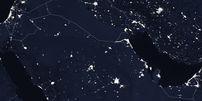
Al Mahbūlah en el mapa
Al Mahbūlah (Al Aḩmadī
) , Kuwait en el mapa.
Coordenadas GPS: 29° 8' 42" Norte,
48° 7' 49" Oriente.
» Zona horaria, » mapa político, » mapa naturales,
» Al Mahbūlah en el mapa noche & » mapa de Google.
 Hora
HoraAl Mahbūlah en el mapa de zona horaria:
Zona horaria: GMT+03:00 = +03


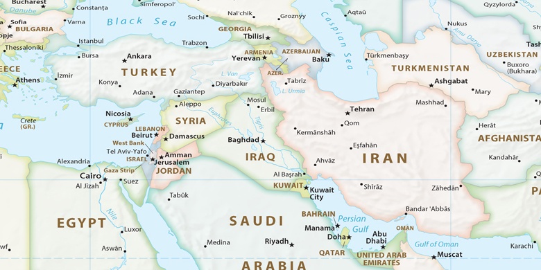
Kuwait, Al Mahbūlah mapa político

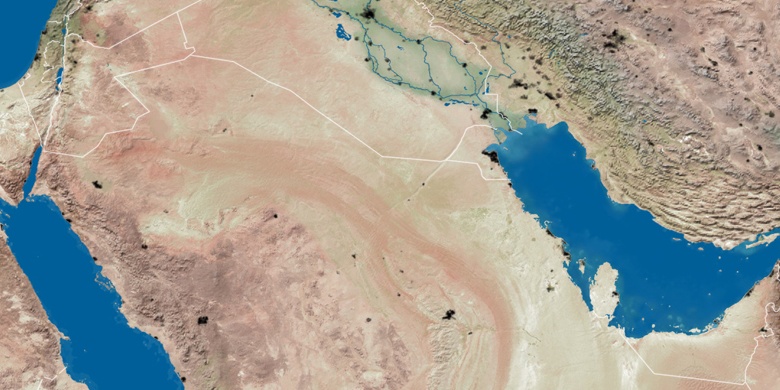
mapa naturales
Latitud longitud: 29.145, 48.13028

Al Mahbūlah
Al Mahbūlah en el mapa noche