Xicoténcatl en el mapa
Xicoténcatl (Tamaulipas) , México en el mapa.
Coordenadas GPS: 22° 59' 46.4" Norte,
98° 56' 31.8" Oeste.
» Zona horaria, » mapa político, » mapa naturales,
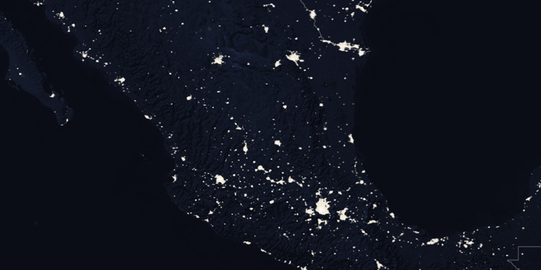
» Xicoténcatl en el mapa noche & » mapa de Google.
 Hora
HoraXicoténcatl en el mapa de zona horaria:
Zona horaria: GMT-06:00 = CST


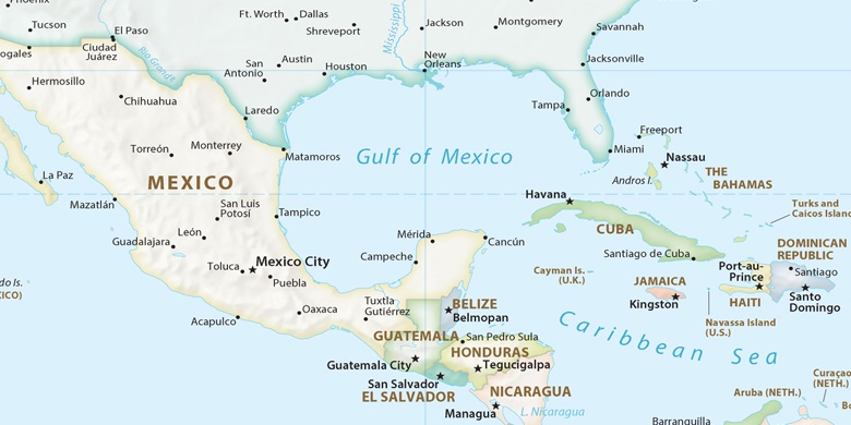
México, Xicoténcatl mapa político

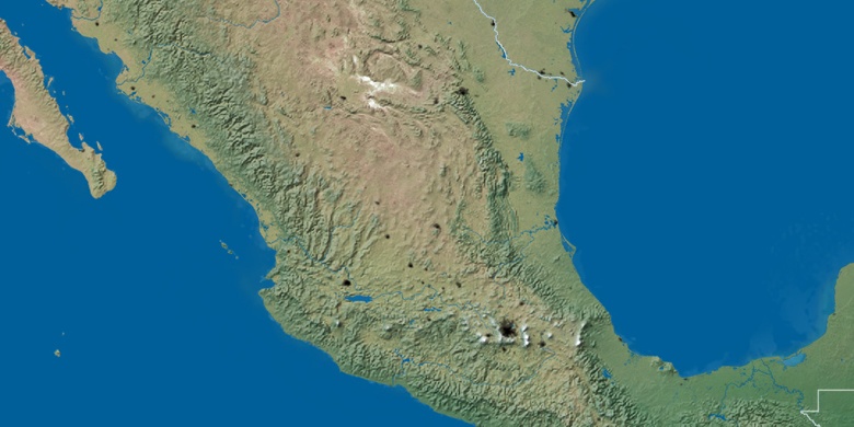
mapa naturales
Latitud longitud: 22.99623, -98.94218

Xicoténcatl
Xicoténcatl en el mapa noche