Ostróda en el mapa
Ostróda (Warmian-Masurian Voivodeship) , Polonia en el mapa.
Coordenadas GPS: 53° 41' 48.2" Norte,
19° 57' 53.5" Oriente.
» Zona horaria, » mapa político, » mapa naturales,
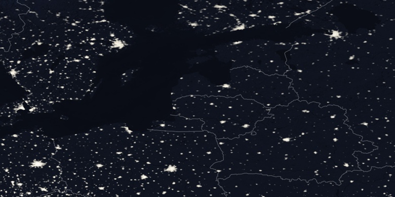
» Ostróda en el mapa noche & » mapa de Google.
 Hora
HoraOstróda en el mapa de zona horaria:
Zona horaria: GMT+02:00 = CEST (±1 DST)


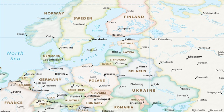
Polonia, Ostróda mapa político

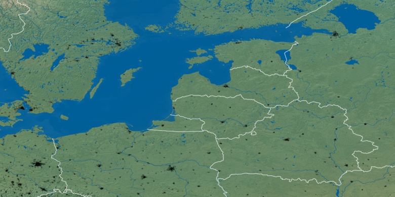
mapa naturales
Latitud longitud: 53.69671, 19.96486

Ostróda
Ostróda en el mapa noche