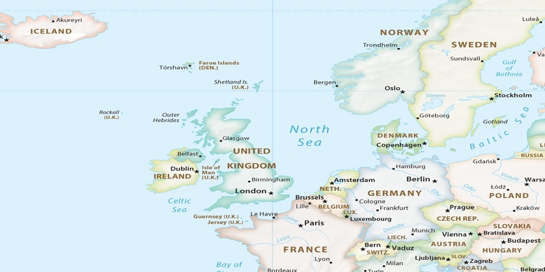
Lytham St Annes en el mapa
Lytham St Annes (England) , Reino Unido en el mapa.
Coordenadas GPS: 53° 44' 33.4" Norte,
2° 59' 49.2" Oeste.
» Zona horaria, » mapa político, » mapa naturales,
» Lytham St Annes en el mapa noche & » mapa de Google.
 Hora
HoraLytham St Annes en el mapa de zona horaria:
Zona horaria: GMT+01:00 = BST (±1 DST)


Reino Unido, Lytham St Annes mapa político

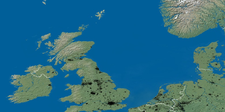
mapa naturales
Latitud longitud: 53.7426, -2.997

Lytham St Annes
Lytham St Annes en el mapa noche