Mohelnice en el mapa
Mohelnice (Olomoucký) , República Checa en el mapa.
Coordenadas GPS: 49° 46' 37.1" Norte,
16° 55' 10.1" Oriente.
» Zona horaria, » mapa político, » mapa naturales,
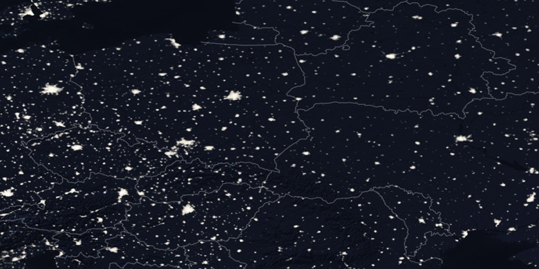
» Mohelnice en el mapa noche & » mapa de Google.
 Hora
HoraMohelnice en el mapa de zona horaria:
Zona horaria: GMT+02:00 = CEST (±1 DST)


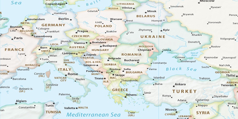
República Checa, Mohelnice mapa político

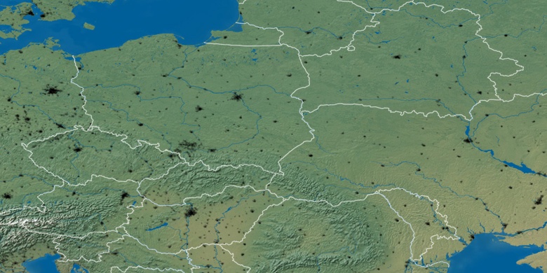
mapa naturales
Latitud longitud: 49.77698, 16.91946

Mohelnice
Mohelnice en el mapa noche