Slatyne en el mapa
Slatyne (Kharkiv) , Ucrania en el mapa.
Coordenadas GPS: 50° 12' 37.5" Norte,
36° 9' 13.5" Oriente.
» Zona horaria, » mapa político, » mapa naturales,
» Slatyne en el mapa noche & » mapa de Google.
 Hora
HoraSlatyne en el mapa de zona horaria:
Zona horaria: GMT+03:00 = EEST (±1 DST)


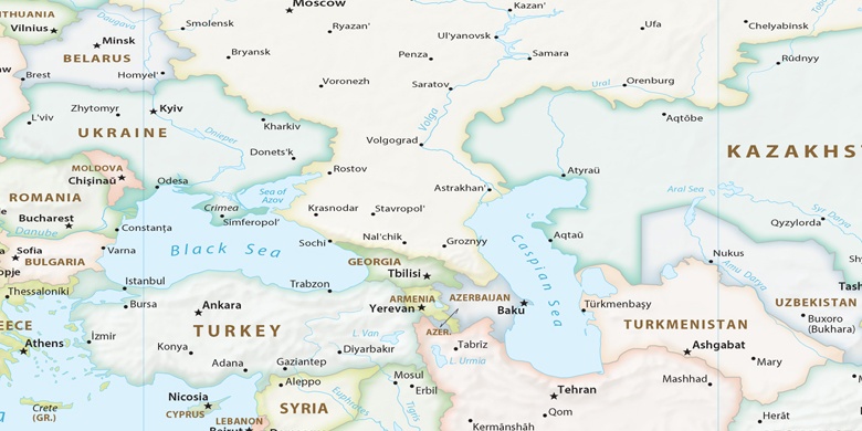
Ucrania, Slatyne mapa político

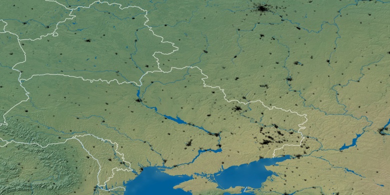
mapa naturales
Latitud longitud: 50.21041, 36.15376

Slatyne
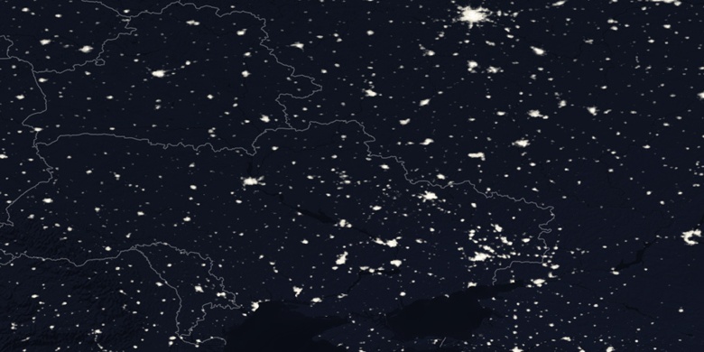
Slatyne en el mapa noche