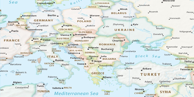
Stari Kuty en el mapa
Stari Kuty (Ivano-Frankivsk
) , Ucrania en el mapa.
Coordenadas GPS: 48° 16' 15.3" Norte,
25° 10' 22.5" Oriente.
» Zona horaria, » mapa político, » mapa naturales,
» Stari Kuty en el mapa noche & » mapa de Google.
 Hora
HoraStari Kuty en el mapa de zona horaria:
Zona horaria: GMT+03:00 = EEST (±1 DST)


Ucrania, Stari Kuty mapa político

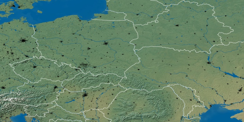
mapa naturales
Latitud longitud: 48.27093, 25.17293

Stari Kuty
Stari Kuty en el mapa noche